
Thank you for supporting this site ❤️
Make a donation
Make a donation
McPhearson topographic map
Click on the map to display elevation.
Thank you for supporting this site ❤️
Make a donation
Make a donation
About this map
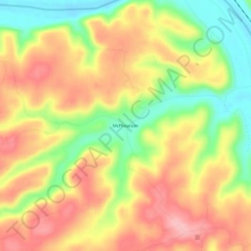
Name: McPhearson topographic map, elevation, terrain.
Location: McPhearson, Baxter County, Arkansas, United States (36.12035 -92.27266 36.16035 -92.23266)
Average elevation: 180 m
Minimum elevation: 103 m
Maximum elevation: 243 m
Thank you for supporting this site ❤️
Make a donation
Make a donation
Other topographic maps
Click on a map to view its topography, its elevation and its terrain.