
Shawsheen Heights topographic map
Interactive map
Click on the map to display elevation.
About this map
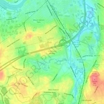
Name: Shawsheen Heights topographic map, elevation, terrain.
Average elevation: 34 m
Minimum elevation: 4 m
Maximum elevation: 77 m
Other topographic maps
Click on a map to view its topography, its elevation and its terrain.
West Andover
United States > Massachusetts > Essex County > Andover
West Andover, Andover, Essex County, Massachusetts, 01810, United States
Average elevation: 42 m