
Pirogue topographic map
Interactive map
Click on the map to display elevation.
About this map
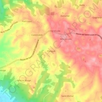
Name: Pirogue topographic map, elevation, terrain.
Location: Pirogue, Pointe-à-Pitre, Guadeloupe, 97112, France (15.88061 -61.29943 15.92061 -61.25943)
Average elevation: 108 m
Minimum elevation: 16 m
Maximum elevation: 159 m