
Thank you for supporting this site ❤️
Make a donation
Make a donation
Jonestown topographic map
Click on the map to display elevation.
Thank you for supporting this site ❤️
Make a donation
Make a donation
About this map
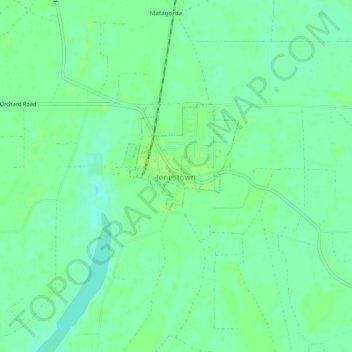
Name: Jonestown topographic map, elevation, terrain.
Location: Jonestown, Coahoma County, Mississippi, 38639, United States (34.29955 -90.47565 34.33955 -90.43565)
Average elevation: 53 m
Minimum elevation: 46 m
Maximum elevation: 57 m
Thank you for supporting this site ❤️
Make a donation
Make a donation