
Détroit de la Sonde topographic map
Interactive map
Click on the map to display elevation.
About this map
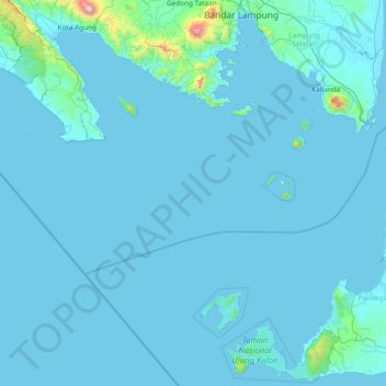
Name: Détroit de la Sonde topographic map, elevation, terrain.
Location: Détroit de la Sonde, Lampung, Indonésie (-6.83603 104.53133 -5.44536 106.04109)
Average elevation: 44 m
Minimum elevation: -1 m
Maximum elevation: 1,969 m
Other topographic maps
Click on a map to view its topography, its elevation and its terrain.