
Thank you for supporting this site ❤️
Make a donation
Make a donation
Penhascoso topographic map
Click on the map to display elevation.
Thank you for supporting this site ❤️
Make a donation
Make a donation
About this map
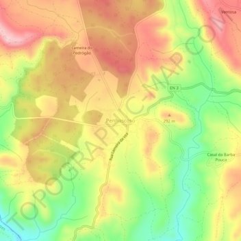
Name: Penhascoso topographic map, elevation, terrain.
Location: Penhascoso, Mação, Santarém, 6120-721, Portugal (39.52413 -8.05990 39.56413 -8.01990)
Average elevation: 243 m
Minimum elevation: 119 m
Maximum elevation: 349 m
Thank you for supporting this site ❤️
Make a donation
Make a donation
Other topographic maps
Click on a map to view its topography, its elevation and its terrain.