
Damme topographic map
Interactive map
Click on the map to display elevation.
About this map
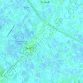
Name: Damme topographic map, elevation, terrain.
Location: Damme, Bruges, Flandre-Occidentale, Flandre, 8340, Belgique (51.23159 3.25971 51.27888 3.33429)
Average elevation: 1 m
Minimum elevation: -2 m
Maximum elevation: 5 m
Other topographic maps
Click on a map to view its topography, its elevation and its terrain.