
La Gallega topographic map
Interactive map
Click on the map to display elevation.
About this map
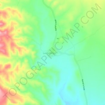
Name: La Gallega topographic map, elevation, terrain.
Location: La Gallega, Indé, Durango, México (25.82841 -105.15770 25.86841 -105.11770)
Average elevation: 1,684 m
Minimum elevation: 1,627 m
Maximum elevation: 1,781 m