
Thank you for supporting this site ❤️
Make a donation
Make a donation
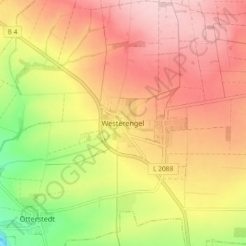
Westerengel topographic map
Click on the map to display elevation.
Thank you for supporting this site ❤️
Make a donation
Make a donation
Westerengel
Der Ort liegt in einer flachen Talmulde an der südlichen Abdachung der Hainleite und am Rand des Thüringer Beckens mit einer Höhenlage von 310 Meter über NN. Das Nachbardorf Kirchengel liegt nur 500 Meter entfernt. Das Haufendorf hat Anschluss an die Landesstraße 2088 und an die Bundesstraße 4.
Thank you for supporting this site ❤️
Make a donation
Make a donation
About this map
Name: Westerengel topographic map, elevation, terrain.
Average elevation: 308 m
Minimum elevation: 185 m
Maximum elevation: 395 m
Thank you for supporting this site ❤️
Make a donation
Make a donation