
Thank you for supporting this site ❤️
Make a donation
Make a donation
Lakai topographic map
Click on the map to display elevation.
Thank you for supporting this site ❤️
Make a donation
Make a donation
About this map
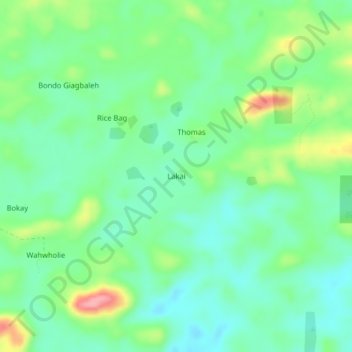
Name: Lakai topographic map, elevation, terrain.
Location: Lakai, Kakata, Margibi County, Liberia (6.79725 -10.20659 6.83725 -10.16659)
Average elevation: 166 m
Minimum elevation: 130 m
Maximum elevation: 247 m
Thank you for supporting this site ❤️
Make a donation
Make a donation