
Thank you for supporting this site ❤️
Make a donation
Make a donation
Bethlehem topographic map
Click on the map to display elevation.
Thank you for supporting this site ❤️
Make a donation
Make a donation
About this map
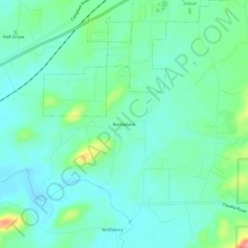
Name: Bethlehem topographic map, elevation, terrain.
Location: Bethlehem, Talladega County, Alabama, 36268, United States (33.48344 -85.98136 33.52344 -85.94136)
Average elevation: 187 m
Minimum elevation: 161 m
Maximum elevation: 274 m
Thank you for supporting this site ❤️
Make a donation
Make a donation
Other topographic maps
Click on a map to view its topography, its elevation and its terrain.