
Thank you for supporting this site ❤️
Make a donation
Make a donation
Vittaryd topographic map
Click on the map to display elevation.
Thank you for supporting this site ❤️
Make a donation
Make a donation
About this map
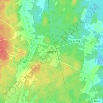
Name: Vittaryd topographic map, elevation, terrain.
Location: Vittaryd, Ljungby kommun, Kronoberg County, 341 52, Sweden (56.95076 13.92679 56.99076 13.96679)
Average elevation: 161 m
Minimum elevation: 140 m
Maximum elevation: 191 m
Thank you for supporting this site ❤️
Make a donation
Make a donation
Other topographic maps
Click on a map to view its topography, its elevation and its terrain.