
Sedbergh topographic map
Interactive map
Click on the map to display elevation.
About this map
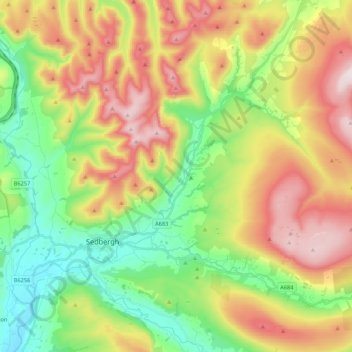
Name: Sedbergh topographic map, elevation, terrain.
Average elevation: 340 m
Minimum elevation: 72 m
Maximum elevation: 708 m
Other topographic maps
Click on a map to view its topography, its elevation and its terrain.
Kendal
Reino Unido > Inglaterra > Cumbria > South Lakeland > Kendal
Kendal, South Lakeland, Cúmbria, Inglaterra, Reino Unido
Average elevation: 112 m