
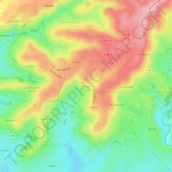
Messac topographic map
Interactive map
Click on the map to display elevation.
About this map
Name: Messac topographic map, elevation, terrain.
Average elevation: 647 m
Minimum elevation: 567 m
Maximum elevation: 739 m
Other topographic maps
Click on a map to view its topography, its elevation and its terrain.
Le Mont
France > Auvergne-Rhône-Alpes > Cantal > Crandelles
Le Mont, Crandelles, Aurillac, Cantal, Auvergne-Rhône-Alpes, France métropolitaine, 15250, France
Average elevation: 635 m