
Thank you for supporting this site ❤️
Make a donation
Make a donation
Sjoga topographic map
Click on the map to display elevation.
Thank you for supporting this site ❤️
Make a donation
Make a donation
About this map
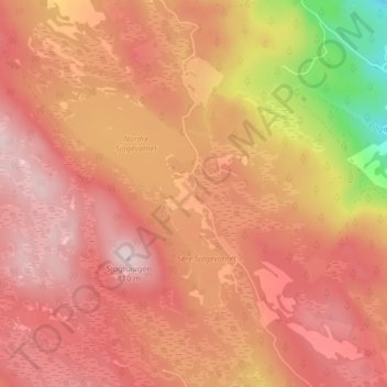
Name: Sjoga topographic map, elevation, terrain.
Location: Sjoga, Lillehammer, Innlandet, Norway (61.04707 10.22802 61.08707 10.26802)
Average elevation: 709 m
Minimum elevation: 505 m
Maximum elevation: 804 m
Thank you for supporting this site ❤️
Make a donation
Make a donation