
Thank you for supporting this site ❤️
Make a donation
Make a donation
Red Springs topographic map
Click on the map to display elevation.
Thank you for supporting this site ❤️
Make a donation
Make a donation
About this map
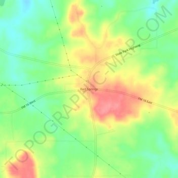
Name: Red Springs topographic map, elevation, terrain.
Location: Red Springs, Smith County, Texas, United States (32.51209 -95.29078 32.55209 -95.25078)
Average elevation: 134 m
Minimum elevation: 97 m
Maximum elevation: 177 m
Thank you for supporting this site ❤️
Make a donation
Make a donation
Other topographic maps
Click on a map to view its topography, its elevation and its terrain.
Thank you for supporting this site ❤️
Make a donation
Make a donation
Thank you for supporting this site ❤️
Make a donation
Make a donation