
Pe Kauk topographic map
Interactive map
Click on the map to display elevation.
About this map
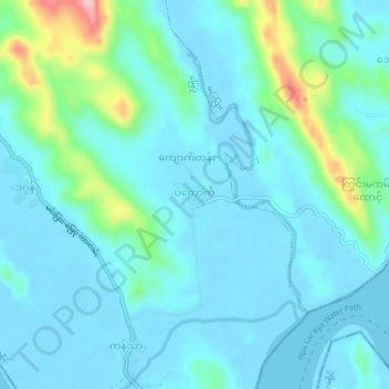
Name: Pe Kauk topographic map, elevation, terrain.
Location: Pe Kauk, Myebon Township, Mrauk-U District, Rakhine, Myanmar (20.08097 93.34692 20.12097 93.38692)
Average elevation: 31 m
Minimum elevation: -5 m
Maximum elevation: 190 m