
Make a donation
Oosterbos topographic map
Click on the map to display elevation.
Make a donation
About this map
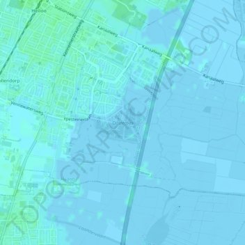
Name: Oosterbos topographic map, elevation, terrain.
Location: Oosterbos, Heiloo, Noord-Holland, Nederland (52.58478 4.71149 52.58926 4.72047)
Average elevation: 1 m
Minimum elevation: -3 m
Maximum elevation: 5 m
Make a donation
Other topographic maps
Click on a map to view its topography, its elevation and its terrain.
Heiloo
Nederland > Noord-Holland > Heiloo
Heiloo zou afgeleid zijn van: Heil = heilig en loo = bos, maar archeologisch onderzoek heeft aangetoond dat er sinds de bronstijd geen sprake is geweest van een bosrijke omgeving. Wellicht is de naam afkomstig van een oud heiligdom, mogelijk ter plaatse van de Witte Kerk. Deze ligt niet, zoals ooit…
Average elevation: 1 m