
Thank you for supporting this site ❤️
Make a donation
Make a donation
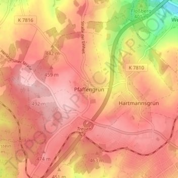
Pfaffengrün topographic map
Click on the map to display elevation.
Thank you for supporting this site ❤️
Make a donation
Make a donation
Pfaffengrün
Der Ort wird von der TaktBus-Linie 83 des Verkehrsverbunds Vogtland bedient. Diese verbindet Pfaffengrün im Zweistundentakt mit Treuen, Netzschkau und Reichenbach. Das Gewerbegebiet Goldene Höhe wird von der TaktBus-Linie 63 (Plauen – Lengenfeld) angefahren.
Thank you for supporting this site ❤️
Make a donation
Make a donation
About this map
Name: Pfaffengrün topographic map, elevation, terrain.
Average elevation: 450 m
Minimum elevation: 336 m
Maximum elevation: 500 m
Thank you for supporting this site ❤️
Make a donation
Make a donation