
Hooker topographic map
Interactive map
Click on the map to display elevation.
About this map
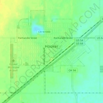
Name: Hooker topographic map, elevation, terrain.
Location: Hooker, Texas County, Oklahoma, 73945, United States (36.84872 -101.22743 36.87039 -101.20110)
Average elevation: 911 m
Minimum elevation: 900 m
Maximum elevation: 921 m
Other topographic maps
Click on a map to view its topography, its elevation and its terrain.
Guymon
United States > Oklahoma > Texas County > Guymon > Guymon
Guymon, Texas County, Oklahoma, 73942, United States
Average elevation: 940 m