
Xã Phước Lâm topographic map
Interactive map
Click on the map to display elevation.
About this map
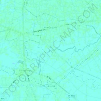
Name: Xã Phước Lâm topographic map, elevation, terrain.
Location: Xã Phước Lâm, Can Giuoc District, Long An Province, Vietnam (10.57407 106.59292 10.60821 106.64015)
Average elevation: 3 m
Minimum elevation: 0 m
Maximum elevation: 6 m