
Thank you for supporting this site ❤️
Make a donation
Make a donation
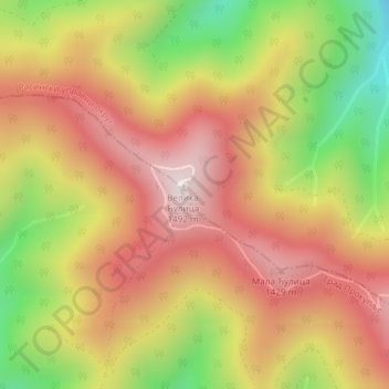
Jastrebac topographic map
Click on the map to display elevation.
Thank you for supporting this site ❤️
Make a donation
Make a donation
Jastrebac
Jastrebac (Serbian Cyrillic: Јастребац) is a mountain in central Serbia, between cities of Niš, Kruševac and Prokuplje. It consists of two massifs, Great (Veliki) and Small (Mali) Jastrebac. Its highest peak Velika Đulica has an elevation of 1,491 meters above sea level. It is well-forested and presents a popular hiking and mountaineering destination.
Thank you for supporting this site ❤️
Make a donation
Make a donation
About this map
Name: Jastrebac topographic map, elevation, terrain.
Average elevation: 1,176 m
Minimum elevation: 777 m
Maximum elevation: 1,476 m
Thank you for supporting this site ❤️
Make a donation
Make a donation