
Montmorency Township topographic map
Interactive map
Click on the map to display elevation.
About this map
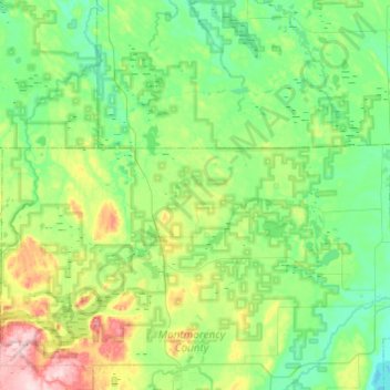
Name: Montmorency Township topographic map, elevation, terrain.
Average elevation: 270 m
Minimum elevation: 218 m
Maximum elevation: 439 m
Other topographic maps
Click on a map to view its topography, its elevation and its terrain.
Briley Township
United States > Michigan > Montmorency County
Briley Township, Montmorency County, Michigan, 49709, United States
Average elevation: 302 m