
Thank you for supporting this site ❤️
Make a donation
Make a donation
Muang Saen topographic map
Click on the map to display elevation.
Thank you for supporting this site ❤️
Make a donation
Make a donation
About this map
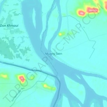
Name: Muang Saen topographic map, elevation, terrain.
Location: Muang Saen, Khong District, Champasak Province, Laos (14.06186 105.74361 14.14186 105.82361)
Average elevation: 93 m
Minimum elevation: 78 m
Maximum elevation: 234 m
Thank you for supporting this site ❤️
Make a donation
Make a donation