
Thank you for supporting this site ❤️
Make a donation
Make a donation
Plan topographic map
Click on the map to display elevation.
Thank you for supporting this site ❤️
Make a donation
Make a donation
About this map
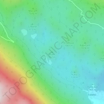
Name: Plan topographic map, elevation, terrain.
Location: Plan, Grad Senj, Comitat de Lika-Senj, 53274, Croatie (44.83758 15.01463 44.83768 15.01473)
Average elevation: 1,016 m
Minimum elevation: 809 m
Maximum elevation: 1,585 m
Thank you for supporting this site ❤️
Make a donation
Make a donation