
Thank you for supporting this site ❤️
Make a donation
Make a donation
Enid topographic map
Click on the map to display elevation.
Thank you for supporting this site ❤️
Make a donation
Make a donation
About this map
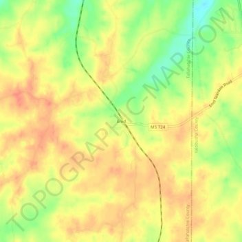
Name: Enid topographic map, elevation, terrain.
Location: Enid, Tallahatchie County, Mississippi, United States (34.09650 -89.95981 34.13650 -89.91981)
Average elevation: 99 m
Minimum elevation: 66 m
Maximum elevation: 117 m
Thank you for supporting this site ❤️
Make a donation
Make a donation
Other topographic maps
Click on a map to view its topography, its elevation and its terrain.