
Thank you for supporting this site ❤️
Make a donation
Make a donation
Tod Township topographic map
Click on the map to display elevation.
Thank you for supporting this site ❤️
Make a donation
Make a donation
About this map
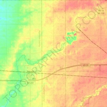
Name: Tod Township topographic map, elevation, terrain.
Location: Tod Township, Crawford County, Ohio, 44860, United States (40.77515 -83.11267 40.90657 -83.07363)
Average elevation: 290 m
Minimum elevation: 259 m
Maximum elevation: 311 m
Thank you for supporting this site ❤️
Make a donation
Make a donation