
Aadorp topographic map
Interactive map
Click on the map to display elevation.
About this map
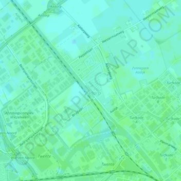
Name: Aadorp topographic map, elevation, terrain.
Location: Aadorp, Almelo, Overijssel, Nederland (52.36696 6.61822 52.38539 6.63728)
Average elevation: 11 m
Minimum elevation: 7 m
Maximum elevation: 14 m
Other topographic maps
Click on a map to view its topography, its elevation and its terrain.
Tusveld
Nederland > Overijssel > Almelo > Bornerbroek
Tusveld, Bornerbroek, Almelo, Overijssel, Nederland, 7627 NV, Nederland
Average elevation: 13 m
Bornerbroek
Nederland > Overijssel > Almelo
Bornerbroek, Almelo, Overijssel, Nederland
Average elevation: 12 m