
Westmanland topographic map
Interactive map
Click on the map to display elevation.
About this map
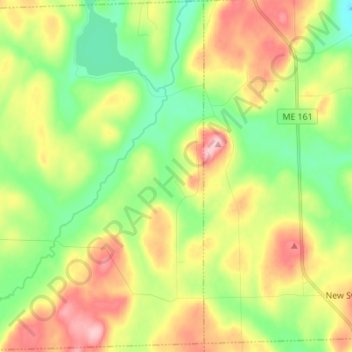
Name: Westmanland topographic map, elevation, terrain.
Location: Westmanland, Aroostook County, Maine, United States (46.92645 -68.30198 47.02054 -68.17870)
Average elevation: 221 m
Minimum elevation: 158 m
Maximum elevation: 308 m