
Thank you for supporting this site ❤️
Make a donation
Make a donation
Holder topographic map
Click on the map to display elevation.
Thank you for supporting this site ❤️
Make a donation
Make a donation
About this map
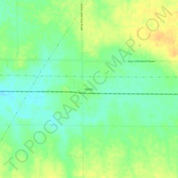
Name: Holder topographic map, elevation, terrain.
Location: Holder, McLean County, Illinois, United States (40.43115 -88.82424 40.47115 -88.78424)
Average elevation: 257 m
Minimum elevation: 244 m
Maximum elevation: 271 m
Thank you for supporting this site ❤️
Make a donation
Make a donation