
Thank you for supporting this site ❤️
Make a donation
Make a donation
Strang topographic map
Click on the map to display elevation.
Thank you for supporting this site ❤️
Make a donation
Make a donation
About this map
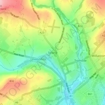
Name: Strang topographic map, elevation, terrain.
Location: Strang, Braddan, Middle, Isle of Man (54.15229 -4.53339 54.19229 -4.49339)
Average elevation: 75 m
Minimum elevation: 8 m
Maximum elevation: 180 m
Thank you for supporting this site ❤️
Make a donation
Make a donation