
Tafelberge topographic map
Interactive map
Click on the map to display elevation.
About this map
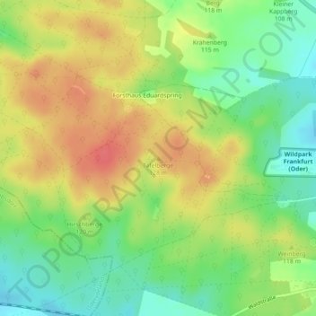
Name: Tafelberge topographic map, elevation, terrain.
Location: Tafelberge, Fráncfort del Óder, Brandemburgo, Alemania (52.35111 14.44264 52.35121 14.44274)
Average elevation: 109 m
Minimum elevation: 79 m
Maximum elevation: 139 m