
Gheluwe topographic map
Interactive map
Click on the map to display elevation.
About this map
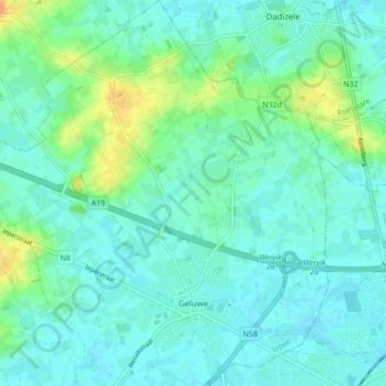
Name: Gheluwe topographic map, elevation, terrain.
Location: Gheluwe, Wervicq, Ypres, Flandre-Occidentale, Belgique (50.79978 3.02549 50.85402 3.10738)
Average elevation: 24 m
Minimum elevation: 16 m
Maximum elevation: 49 m