
Tatai topographic map
Interactive map
Click on the map to display elevation.
About this map
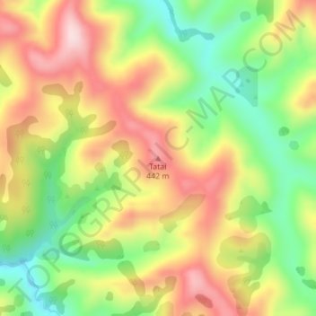
Name: Tatai topographic map, elevation, terrain.
Location: Tatai, Gisborne, Nouvelle-Zélande (-38.43356 178.00016 -38.43346 178.00026)
Average elevation: 295 m
Minimum elevation: 140 m
Maximum elevation: 455 m
Other topographic maps
Click on a map to view its topography, its elevation and its terrain.
Gisborne
Nouvelle-Zélande > Gisborne > Gisborne District
Gisborne, Gisborne District, Gisborne, 4010, Nouvelle-Zélande
Average elevation: 70 m