
Dağlı topographic map
Interactive map
Click on the map to display elevation.
About this map
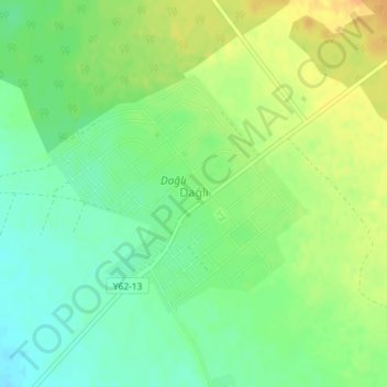
Name: Dağlı topographic map, elevation, terrain.
Location: Dağlı, Zaqatala District, Sheki-Zaqatala, Azerbaijan (41.51558 46.51627 41.53221 46.54049)
Average elevation: 234 m
Minimum elevation: 219 m
Maximum elevation: 251 m