
Thank you for supporting this site ❤️
Make a donation
Make a donation
Ramil topographic map
Click on the map to display elevation.
Thank you for supporting this site ❤️
Make a donation
Make a donation
About this map
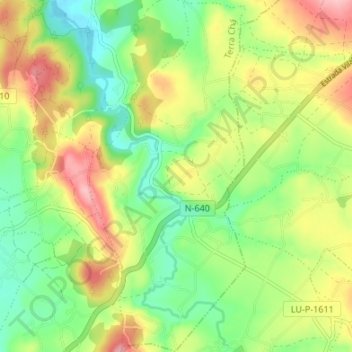
Name: Ramil topographic map, elevation, terrain.
Location: Ramil, Castro de Rei, Tierra Chá, Lugo, Galicia, España (43.15017 -7.38945 43.19913 -7.35955)
Average elevation: 486 m
Minimum elevation: 424 m
Maximum elevation: 570 m
Thank you for supporting this site ❤️
Make a donation
Make a donation
Other topographic maps
Click on a map to view its topography, its elevation and its terrain.