
Thank you for supporting this site ❤️
Make a donation
Make a donation
Ritafjall topographic map
Click on the map to display elevation.
Thank you for supporting this site ❤️
Make a donation
Make a donation
About this map
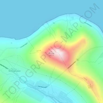
Name: Ritafjall topographic map, elevation, terrain.
Location: Ritafjall, Leirvík, Eysturoyar sýsla, 520, Færøerne (62.21384 -6.75213 62.21394 -6.75203)
Average elevation: 148 m
Minimum elevation: -15 m
Maximum elevation: 639 m
Thank you for supporting this site ❤️
Make a donation
Make a donation