
Río Chicamocha topographic map
Interactive map
Click on the map to display elevation.
About this map
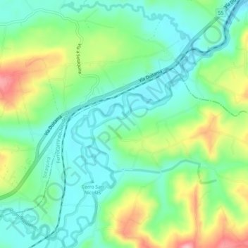
Name: Río Chicamocha topographic map, elevation, terrain.
Location: Río Chicamocha, Tuta, Centro, Boyacá, Colombia (5.70492 -73.22452 5.74860 -73.18985)
Average elevation: 2,576 m
Minimum elevation: 2,524 m
Maximum elevation: 2,686 m
Other topographic maps
Click on a map to view its topography, its elevation and its terrain.