
Moraine Park topographic map
Interactive map
Click on the map to display elevation.
About this map
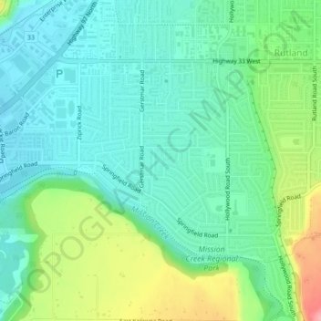
Name: Moraine Park topographic map, elevation, terrain.
Average elevation: 408 m
Minimum elevation: 374 m
Maximum elevation: 492 m
Other topographic maps
Click on a map to view its topography, its elevation and its terrain.
Okanagan Lake
Canada > British Columbia > Regional District of Central Okanagan > Kelowna
Okanagan Lake, Kelowna, Regional District of Central Okanagan, British Columbia, Canada
Average elevation: 1,194 m