
Thank you for supporting this site ❤️
Make a donation
Make a donation
Les Grattes topographic map
Click on the map to display elevation.
Thank you for supporting this site ❤️
Make a donation
Make a donation
About this map
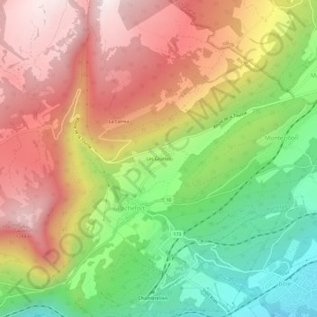
Name: Les Grattes topographic map, elevation, terrain.
Location: Les Grattes, Rochefort, Neuchâtel, 2019, Suisse (46.96411 6.79358 47.00411 6.83358)
Average elevation: 920 m
Minimum elevation: 495 m
Maximum elevation: 1,332 m
Thank you for supporting this site ❤️
Make a donation
Make a donation