
Thank you for supporting this site ❤️
Make a donation
Make a donation
Antan topographic map
Click on the map to display elevation.
Thank you for supporting this site ❤️
Make a donation
Make a donation
About this map
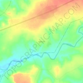
Name: Antan topographic map, elevation, terrain.
Location: Antan, Gidan Waya, Jema'A, Kaduna State, Nigeria (9.43000 8.44667 9.47000 8.48667)
Average elevation: 539 m
Minimum elevation: 511 m
Maximum elevation: 567 m
Thank you for supporting this site ❤️
Make a donation
Make a donation