
Thank you for supporting this site ❤️
Make a donation
Make a donation
Bhangala topographic map
Click on the map to display elevation.
Thank you for supporting this site ❤️
Make a donation
Make a donation
About this map
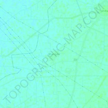
Name: Bhangala topographic map, elevation, terrain.
Location: Bhangala, Phillaur Tahsil, Jalandhar, Punjab, 144033, India (31.12352 75.57512 31.16352 75.61512)
Average elevation: 238 m
Minimum elevation: 235 m
Maximum elevation: 241 m
Thank you for supporting this site ❤️
Make a donation
Make a donation