
Thank you for supporting this site ❤️
Make a donation
Make a donation
Ordona topographic map
Click on the map to display elevation.
Thank you for supporting this site ❤️
Make a donation
Make a donation
About this map
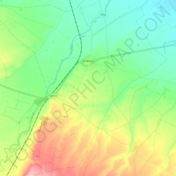
Name: Ordona topographic map, elevation, terrain.
Location: Ordona, Foggia, Apulia, Italy (41.26412 15.56765 41.34176 15.67605)
Average elevation: 127 m
Minimum elevation: 66 m
Maximum elevation: 227 m
Thank you for supporting this site ❤️
Make a donation
Make a donation