
Thank you for supporting this site ❤️
Make a donation
Make a donation
Kwala Tanjung topographic map
Click on the map to display elevation.
Thank you for supporting this site ❤️
Make a donation
Make a donation
About this map
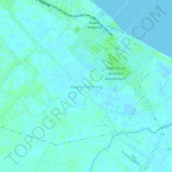
Name: Kwala Tanjung topographic map, elevation, terrain.
Location: Kwala Tanjung, Batu Bara, North Sumatra, Sumatra, Indonesia (3.32528 99.42656 3.36528 99.46656)
Average elevation: 2 m
Minimum elevation: -2 m
Maximum elevation: 8 m
Thank you for supporting this site ❤️
Make a donation
Make a donation
Other topographic maps
Click on a map to view its topography, its elevation and its terrain.