
Llanfoist topographic map
Interactive map
Click on the map to display elevation.
About this map
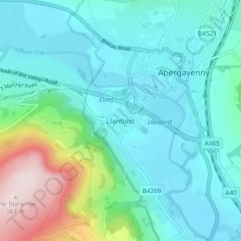
Name: Llanfoist topographic map, elevation, terrain.
Location: Llanfoist, Monmouthshire, Pays de Galles, NP7 9LT, Royaume-Uni (51.79324 -3.05180 51.83324 -3.01180)
Average elevation: 143 m
Minimum elevation: 39 m
Maximum elevation: 554 m