
Kalkar topographic map
Interactive map
Click on the map to display elevation.
About this map
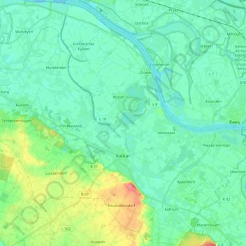
Name: Kalkar topographic map, elevation, terrain.
Location: Kalkar, Kleef, Noordrijn-Westfalen, 47546, Duitsland (51.68723 6.23561 51.82783 6.41133)
Average elevation: 22 m
Minimum elevation: 8 m
Maximum elevation: 69 m