
Thank you for supporting this site ❤️
Make a donation
Make a donation
Gorillas topographic map
Click on the map to display elevation.
Thank you for supporting this site ❤️
Make a donation
Make a donation
About this map
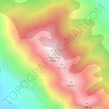
Name: Gorillas topographic map, elevation, terrain.
Average elevation: 1,152 m
Minimum elevation: 560 m
Maximum elevation: 1,636 m
Thank you for supporting this site ❤️
Make a donation
Make a donation
Other topographic maps
Click on a map to view its topography, its elevation and its terrain.
Souli Municipality
Greece > Epirus and Western Macedonia > Thesprotia Regional Unit
Average elevation: 423 m