
Thank you for supporting this site ❤️
Make a donation
Make a donation
Eldas topographic map
Click on the map to display elevation.
Thank you for supporting this site ❤️
Make a donation
Make a donation
About this map
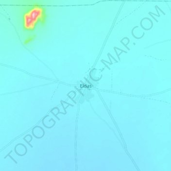
Name: Eldas topographic map, elevation, terrain.
Location: Eldas, Wajir County, Kenya (2.45241 39.52694 2.53241 39.60694)
Average elevation: 418 m
Minimum elevation: 405 m
Maximum elevation: 638 m
Thank you for supporting this site ❤️
Make a donation
Make a donation