
Thank you for supporting this site ❤️
Make a donation
Make a donation
Ban Khok topographic map
Click on the map to display elevation.
Thank you for supporting this site ❤️
Make a donation
Make a donation
About this map
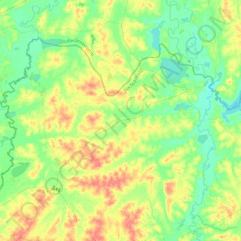
Name: Ban Khok topographic map, elevation, terrain.
Location: Ban Khok, Udon Thani Province, Thailand (17.62737 102.83969 17.94737 103.15969)
Average elevation: 173 m
Minimum elevation: 154 m
Maximum elevation: 206 m
Thank you for supporting this site ❤️
Make a donation
Make a donation