
Thank you for supporting this site ❤️
Make a donation
Make a donation
Ogawa topographic map
Click on the map to display elevation.
Thank you for supporting this site ❤️
Make a donation
Make a donation
About this map
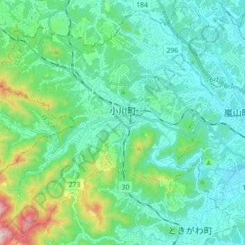
Name: Ogawa topographic map, elevation, terrain.
Location: Ogawa, Hiki County, Saitama Prefecture, Japan (36.00490 139.18574 36.09912 139.30848)
Average elevation: 144 m
Minimum elevation: 40 m
Maximum elevation: 583 m
Thank you for supporting this site ❤️
Make a donation
Make a donation